Banpani.org launches shared flood-relief map to improve coordination in Assam
Banpani.org, a free community disaster-relief platform, offers a shared live map where people can report flood needs and track relief routes to reduce overlap.
As floods continue to affect parts of Assam, a community-driven digital platform is aiming to address a key problem faced during relief work: coordination. Banpani.org is being promoted as a shared live map where people can record what help is needed and where relief teams are already reaching.
Why a shared map is being used
The platform was developed by Partha Borthakur, a Jorhat native, with support from an agri-technology business incubator linked to Assam Agricultural University. The idea came after he noticed that multiple relief vehicles were sometimes moving to the same locations, while other flood-affected areas were not getting assistance.
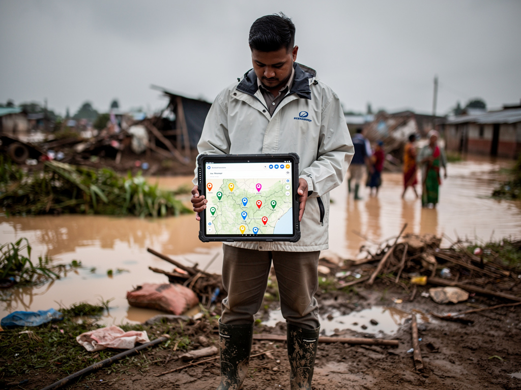
In an account shared about the initiative, Borthakur said that while relief efforts are active and generous, much of the information is shared through scattered WhatsApp groups. He described how messages can get missed and how different groups may work independently without a clear picture of overall needs.
Banpani is designed to bring those details into one place. Users can place a pin on the map and report flood-related needs. The platform allows reporting for items such as water, ORS, medicines, boats, and other forms of assistance.
How the platform plans to reduce duplication
Relief groups and volunteers can also use a “Gaps” view to see which areas have not yet received assistance. Groups running relief convoys can announce their routes on the map, which the platform describes as a way to reduce repeated visits to the same village.
The site can also be used to report changes in water levels so the flood map can reflect conditions on the ground. It is available in English, Assamese, and Hindi. According to the initiative, users do not need to log in to report a requirement, and phone numbers remain private.
The platform includes a community-based approach to verification. An individual submission is not shown by itself; it needs to be reported by three or more people before it is reflected on the map.