Namchi begins GIS-based master plan consultation under AMRUT 2.0
A stakeholder consultation workshop discussed a GIS-based master plan for the Namchi Planning Area under AMRUT 2.0, focusing on infrastructure, climate risks,交通
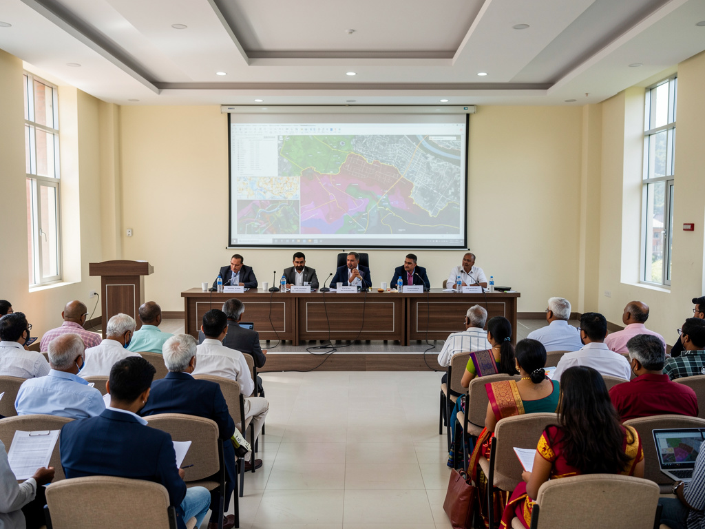
A stakeholder consultation workshop was held in Namchi to discuss the preparation of a GIS-based master plan for the Namchi Planning Area under the AMRUT 2.0 sub-scheme. The one-day session took place at the Town Hall, Namchi, with elected representatives, government officials, technical experts, and local stakeholders taking part.
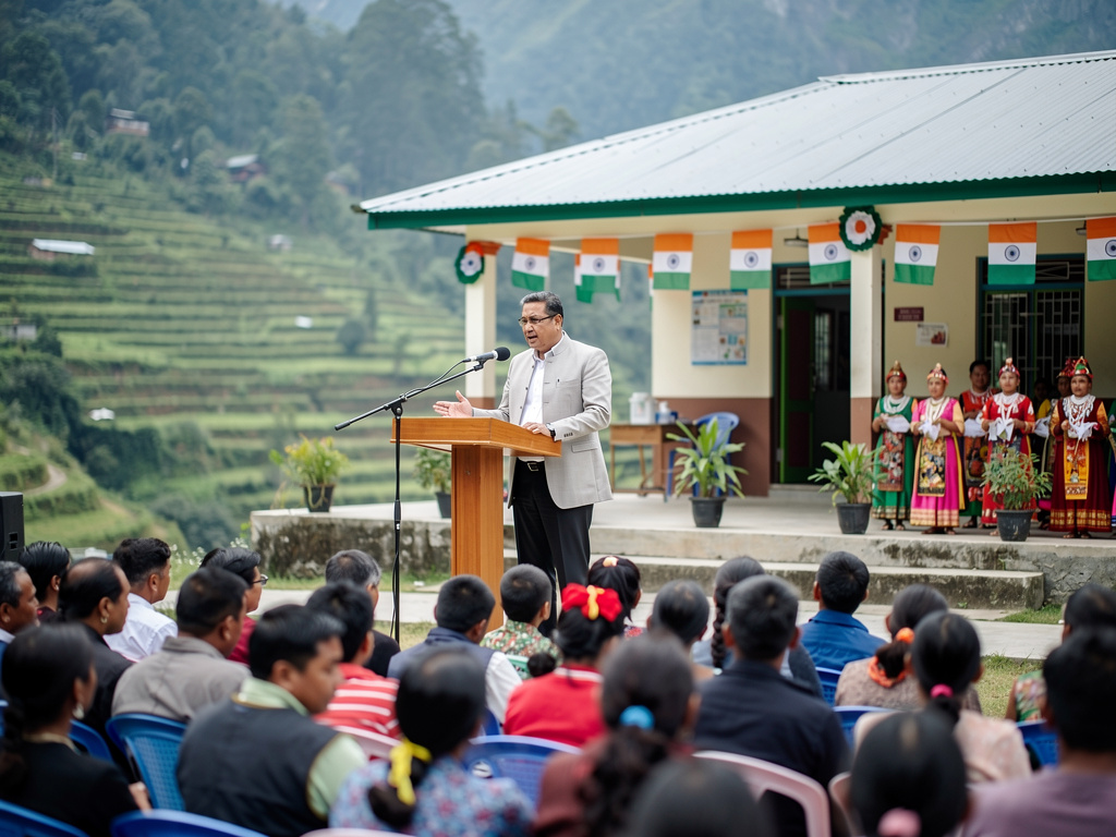
Urban Development minister Bhoj Raj Rai said the State government is working towards planned urbanisation and balanced infrastructure growth. He asked planners to ensure that the vision of “Sunaulo, Samriddha ani Samarth Sikkim” is reflected in the master plan, while also protecting ecological balance, cultural heritage, and the area’s unique identity.
Key urban services and pedestrian-friendly planning
Rai highlighted areas the master plan must address, including water supply, sewerage and drainage systems, traffic congestion, parking, and solid waste management. He also stressed the need for pedestrian-friendly spaces, including planned walkways that improve accessibility and safety for all.
MLA Satish Chandra Rai said Namchi should strengthen essential infrastructure, with focus on efficient sewerage, improved drinking water supply, road widening, and better traffic management. He also linked infrastructure planning with tourism, mentioning beautification of public spaces and visitor-friendly amenities.
GIS, climate risk work, and a 20-year direction
Another proposal came from Melli MLA N.B. Pradhan, who suggested that Sadam and Sumbuk be brought into the planning framework to support future growth. Chief town planner (Gangtok) Dinker Gurung said the work is guided by the Sikkim Town and Country Planning Act, 2024, while following the existing legal and institutional framework.
Representatives from the consulting team presented the GIS-based approach, including statutory planning requirements and the proposed spatial boundaries. CSTEP’s Dr. Manish Kumar discussed climate risk assessment and decision support for the Namchi-Jorethang region, and showed how geospatial tools are being used to factor climate considerations into planning. The workshop included layered mapping and drone-derived base maps, and concluded with a strategic exercise to develop a preliminary 20-year climate-resilient master plan and zoning strategies for the Namchi Planning Area.