Assam floods despite below-normal monsoon rainfall: How the Brahmaputra basin shaped the disaster
Assam recorded a 29% rainfall deficit from June 1 to July 29, yet faced major floods. The report explains how upstream rainfall in the Brahmaputra basin and the
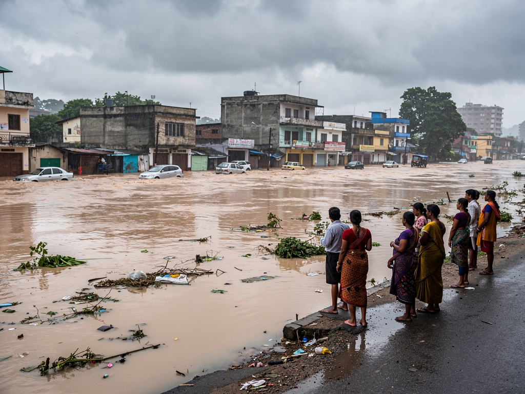
Assam is facing what officials and meteorologists describe as a monsoon paradox this season. While the state saw devastating floods that displaced thousands and inundated large areas, official rainfall figures show Assam received less rain than normal during the same period.
According to India Meteorological Department (IMD) district rainfall data for June 1 to July 29, Assam recorded 594.4 mm of rainfall against a normal of 839.6 mm. This puts the state in the IMD’s “Deficient” category, with a shortfall of about 29%.
Upstream downpours swelled the Brahmaputra system
Researchers and flood experts say the explanation lies beyond rainfall over Assam alone. Rivers in Assam are fed by catchments spread across Arunachal Pradesh, Nagaland, Bhutan and parts of the Tibetan plateau. Heavy rain in these upstream regions can raise water levels quickly and send large volumes downstream into the Assam plains.
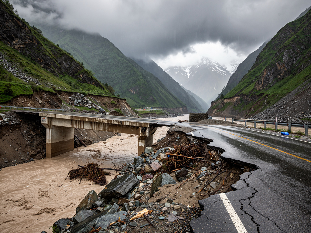
In this monsoon, repeated spells of intense rainfall and cloudbursts over Arunachal Pradesh and Nagaland caused rivers to rise sharply. Even as some parts of Assam recorded below-average seasonal rainfall totals, the basin-wide inflow increased the flood risk in Upper Assam and affected districts across the state.
What triggered the worst spells
An Inter-Ministerial Central Team (IMCT) visited several worst-hit districts and met senior Assam government officials. During the briefing, the state government described the floods as “totally unprecedented” and noted that Sivasagar and Charaideo have historically not been flood-prone.
Officials told the team that the flooding was triggered by exceptionally heavy rainfall in Nagaland on July 19. Nagaland recorded 181% above-normal rainfall that day, with Mokokchung registering 493% above normal. Wokha recorded 108% above normal and Mon 45% above normal, officials said. Localised extremely heavy rainfall in Charaideo and Sivasagar also contributed to runoff and widespread inundation.
Meteorologists add that rainfall totals do not always match flood impact. The IMD figures cover cumulative rainfall over nearly two months, and they do not show how rainfall was spread across days. They say a short period of very heavy rain concentrated over river catchments can trigger severe floods even when the overall seasonal total remains below normal.
Some researchers also point to how land use and infrastructure on floodplains can worsen the effects of extreme rainfall. A researcher cited concerns that embankment breaches, sedimentation in channels and blocked natural drainage can reduce the rivers’ ability to carry excess water, making flooding more likely during intense events.