Assam floods leave a trail of damage, with experts pointing to both nature and policy choices
A flood report for Assam says thousands of hectares of fields and hundreds of villages were affected in 2026. Environmental experts say the disaster is shaped,過
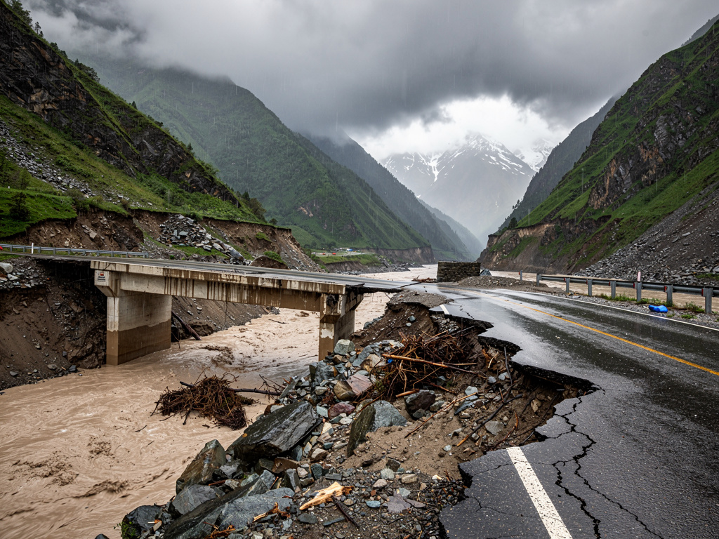
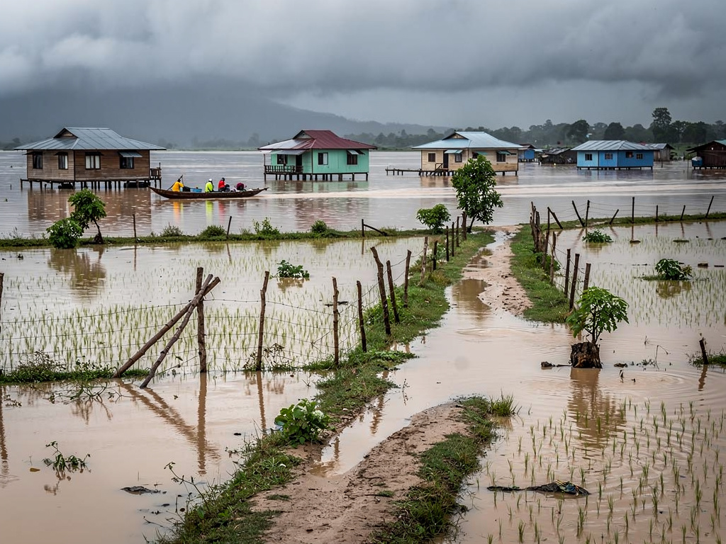
Large parts of Assam’s Brahmaputra Valley were submerged during the 2026 floods after successive spells of heavy rainfall. An Assam State Disaster Management Authority flood report dated July 28 said the floodwaters inundated 45,341 hectares of agricultural fields, affected 622 villages, and touched seven districts: Sivasagar, Charaideo, Golaghat, Jorhat, Nagaon, Sonitpur and Kamrup Metro.
The report also recorded 75 flood-related deaths. Public memory often focuses on visible moments such as relief camps, rescue boats, submerged homes and breached embankments. But the article argues that these images represent only part of what floods do to communities.
Beyond the waterline
Environmental sociologist Dr Mitual Baruah is cited for the idea that floods should be seen as “slow” disasters. In this view, erosion and flooding can build over time. Because the impacts develop gradually, the social and economic risks they create may be missed, leading to delayed or inadequate responses.
The article describes how the effects can persist even after floodwaters recede. Eroded riverbanks, damaged croplands, repeated displacement, and loss of livelihoods may continue for long periods. It also says that treating each flood as a separate natural event can hide longer-term vulnerabilities that have been built up over years.
How changes in the basin can intensify floods
The piece links recent flood damage to changes in the landscape and how water moves through the Brahmaputra basin. It notes that wetlands have historically absorbed excess water, while developments such as buildings, roads, towns and industries can alter that natural storage. The article also points to upstream changes, including unregulated clearing of forests for highways, mining and large infrastructure projects.
According to the article, the expansion of dams has also changed the seasonal movement of water and sediment. It adds that these cumulative interventions over the past two decades have altered the hydrological character of the Brahmaputra and its tributaries, which can reshape how floodplains behave during monsoon periods.
Using Sivasagar district as an example, the article mentions concerns raised by local communities and environmental groups about impacts of coal mining, hill cutting and excavation affecting the Dikhow River catchment. It says that in a region that receives continuous monsoon rains, removing forests and excavating hill slopes can leave terrain unstable and prone to erosion. During monsoon downpours, loosened soil and sediment can be carried into the river, increasing sediment load and contributing to flooding downstream in districts such as Sivasagar.